-
-
-
-
-
-
-
-
-
-
-
-
-
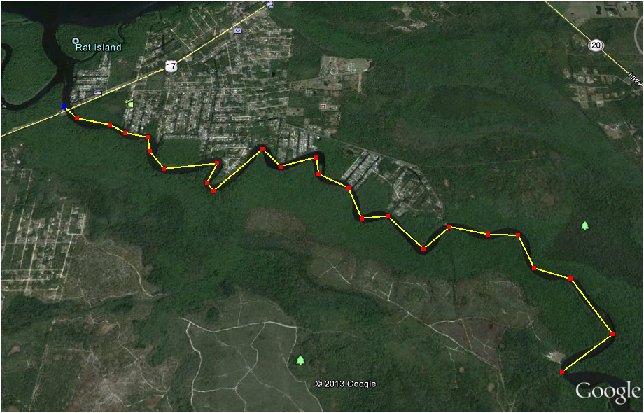
4 - Dunns Creek Park to Dunns Creek Bridge
-
-
-
-
-
-
-
-
-
-
-
-
-
-
-
-


Put In: Lat/Long 29°31’33”/81°35’22”
Entrance to Dunns Creek Park (corner of Sisco Road and Parkin Road)
Lat/Long 29°33’03”/81°34’22” - Kayak Launch in Park
Take Out: Lat/Long 29°34’39”/81°37’37” - Base of Dunns Creek Bridge
Distance: 5.5 miles
Planned Stops: None
Difficulty: Intermediate
Estimated Time: 3 hours
Narrative Description: Dunns Creek connects Crescent Lake to the St. Johns River through 9 miles of pristine native Florida. It averages 100 yards wide the entire length of the creek. The Dunns Creek Bridge of Highway 17 passes over the waterway near its connection with the river. Murphys Creek and Rat Creek are connected at the northern mouth. The shoreline is largely uninhabited except for the first two miles on the eastern shore. SJRWMD manages the Dunns Creek Conservation Area on 5 miles of the eastern shore of the creek. Dunns Creek State Park is located on the western shore for nearly its entire length. At Piney Bluff Landing, the state park offers picnic tables, artesian well water and restrooms. Beautiful wetlands, cypress trees and lily pads are viewed. The waterway is subject to strong tidal flows. It is recommended to verify tide information before you cast off.
Paddlers should keep to the beautiful shorelines as there is no marked channel and there is motorized boat traffic - caution should be taken. It is a deep creek and there are no places to take-out easily.
The Creek was paddled by John and William Bartram on January 2 and 26, 1766 on their way to and from Crescent Lake.


.png)